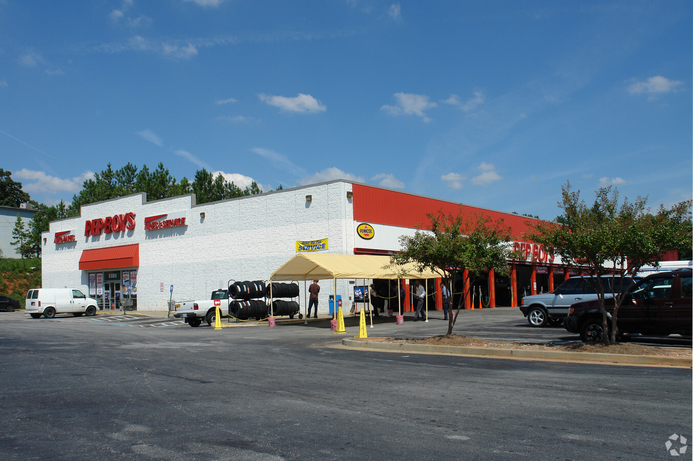
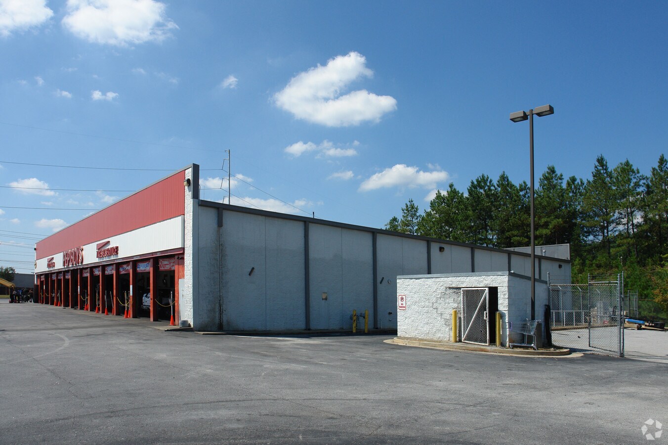
Property Record
2059 S Hairston Rd, Decatur, GA 30035
Current Lease Availabilities
NEARBY LISTINGS FOR SALE OR LEASE
Property Detail
2059 S Hairston Rd
15-161-01-026
131 X 51 X 28 X 100 X 170 X 143 0.56AC 12-11-89 119 X 170 X 143 X 131 X 44 0.54AC 10-16-97
Departmentstore
DeKalb
X
Georgia
13089C0152J
5
2023
1.40 AC
2023
Stone Mtn/Clarkston
023216
Atlanta
17,360 SF
Atlanta-Sandy Springs-Roswell, GA
DEMOGRAPHICS near 2059 S Hairston Rd
1 Mile
3 Mile
5 Mile
2024 Total Population
9,210
83,319
233,443
2029 Population
9,100
82,545
232,616
Pop Growth 2024-2029
(1.19%)
(0.93%)
(0.35%)
Average Age
40
39
39
2024 Total Households
3,471
30,782
87,340
HH Growth 2024-2029
(1.21%)
(1.01%)
(0.31%)
Median Household Inc
$62,168
$56,319
$56,480
Avg Household Size
2.60
2.60
2.60
2024 Avg HH Vehicles
2.00
2.00
2.00
Median Home Value
$188,907
$177,872
$196,278
Median Year Built
1987
1982
1982
Nearby Places
- Restaurants
- Banks
- Shops
- Fitness
- Groceries
PUBLIC TRANSPORTATION
AIRPORT
Hartsfield - Jackson Atlanta International
DRIVE
WALK
Distance
Hartsfield - Jackson Atlanta International
27 min
17.5 mi
Freight Ports
Georgia Ports - Savannah
DRIVE
WALK
Distance
Georgia Ports - Savannah
280 min
249.4 mi
Nearby Properties
Address
Land Use
TOTAL SIZE
Lot Size
Zoning
Address
Land Use
TOTAL SIZE
Lot Size
Zoning
317,008 SF
37.40 AC
RM100
Address
Land Use
TOTAL SIZE
Lot Size
Zoning
988,394 SF
102.21 AC
RM100
Address
Land Use
TOTAL SIZE
Lot Size
Zoning
834,629 SF
64.50 AC
RM100
Address
Land Use
TOTAL SIZE
Lot Size
Zoning
484,198 SF
32.10 AC
RM100
Address
Land Use
TOTAL SIZE
Lot Size
Zoning
250,496 SF
14.80 AC
OI
Address
Land Use
TOTAL SIZE
Lot Size
Zoning
287,674 SF
17.63 AC
R75: SF RE
Address
Land Use
TOTAL SIZE
Lot Size
Zoning
300,697 SF
21.10 AC
RM85
Address
Land Use
TOTAL SIZE
Lot Size
Zoning
175,082 SF
16.50 AC
X
Address
Land Use
TOTAL SIZE
Lot Size
Zoning
210,070 SF
13.80 AC
RM100
Address
Land Use
TOTAL SIZE
Lot Size
Zoning
158,939 SF
14.40 AC
RM85
Address
Land Use
TOTAL SIZE
Lot Size
Zoning
249,506 SF
21 AC
RM100
Address
Land Use
TOTAL SIZE
Lot Size
Zoning
814,943 SF
40.70 AC
M
Address
Land Use
TOTAL SIZE
Lot Size
Zoning
277,816 SF
18 AC
RM100
Address
Land Use
TOTAL SIZE
Lot Size
Zoning
182,490 SF
12.40 AC
RM100
Address
Land Use
TOTAL SIZE
Lot Size
Zoning
137,574 SF
10.42 AC
RM100
Address
Land Use
TOTAL SIZE
Lot Size
Zoning
83,910 SF
10.20 AC
RCH
Address
Land Use
TOTAL SIZE
Lot Size
Zoning
144,950 SF
16.40 AC
RM100
Address
Land Use
TOTAL SIZE
Lot Size
Zoning
292,395 SF
20.70 AC
RM100
Address
Land Use
TOTAL SIZE
Lot Size
Zoning
155,447 SF
12.10 AC
X
Address
Land Use
TOTAL SIZE
Lot Size
Zoning
168,610 SF
19.20 AC
M
Address
Land Use
TOTAL SIZE
Lot Size
Zoning
209,022 SF
16.50 AC
RM100
Address
Land Use
TOTAL SIZE
Lot Size
Zoning
128,149 SF
9.90 AC
RM100
Address
Land Use
TOTAL SIZE
Lot Size
Zoning
153,974 SF
9.90 AC
RM100
Address
Land Use
TOTAL SIZE
Lot Size
Zoning
249,668 SF
17.10 AC
RM100
Address
Land Use
TOTAL SIZE
Lot Size
Zoning
253,740 SF
13.20 AC
RM75
Address
Land Use
TOTAL SIZE
Lot Size
Zoning
208,711 SF
34.30 AC
X
Address
Land Use
TOTAL SIZE
Lot Size
Zoning
33,448 SF
2.07 AC
C-1
Address
Land Use
TOTAL SIZE
Lot Size
Zoning
372,399 SF
12.63 AC
M
Address
Land Use
TOTAL SIZE
Lot Size
Zoning
198,695 SF
10.90 AC
X
Address
Land Use
TOTAL SIZE
Lot Size
Zoning
72,755 SF
5.17 AC
C1
The World's #1 Commercial Real Estate Marketplace
Connect with us
© 2025 CoStar Group
The information above has been obtained from sources believed reliable. While we do not doubt its accuracy we have not verified it and make no guarantee, warranty or representation about it. It is your responsibility to independently confirm its accuracy and completeness. Any projections, opinions, assumptions, or estimates used are for example only and do not represent the current or future performance of the property. The value of this transaction to you depends on tax and other factors which should be evaluated by your tax, financial, and legal advisors. You and your advisors should conduct a careful, independent investigation of the property to determine to your satisfaction the suitability of the property for your needs.